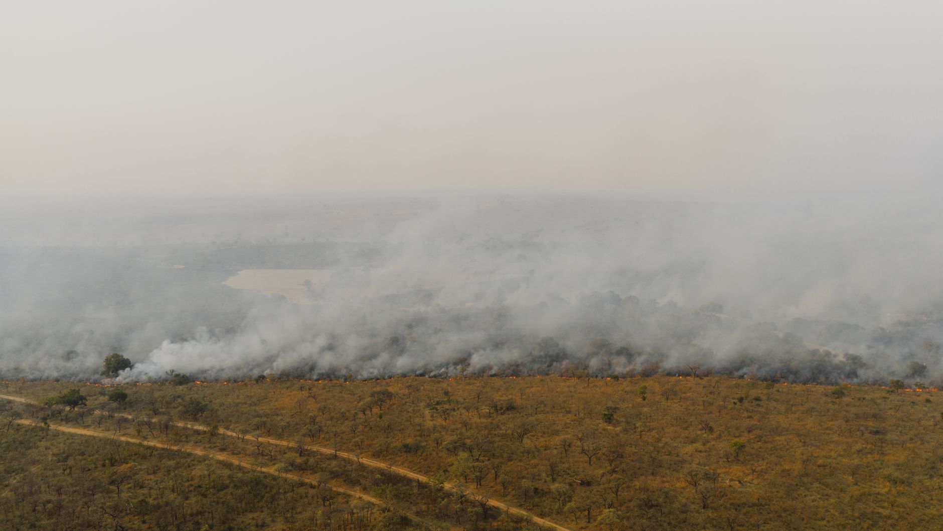
A widespread dust cloud swept across parts of Mali and areas of neighboring countries, offering a clear view of an atmospheric phenomenon that, while recurring in West Africa, typically tends to lose intensity and frequency at this time of year. The event was documented by NASA through dedicated Earth observations, showing a plume capable of shrouding the landscape from above and revealing the sheer volume of material lifted and carried into the atmosphere.
The report does not indicate an event isolated from the region's climatic context: desert and semi-desert dust is part of the seasonal dynamics of the Sahelian and Saharan regions. Rather, what makes it noteworthy is the timing of the phenomenon. Just as sand and dust storm activity begins to wind down, a vast new plume draws attention to the variability that can characterize the transition between seasons.
The NASA documentation describes a blanket of dust stretching across Mali and surrounding territories. The available material does not provide an estimate of particle concentration, the altitude reached by the cloud, its duration, or a direct assessment of ground-level impacts. These are significant limitations: a satellite photograph captures the visual scale of the event, but alone it is not enough to define human exposure, air quality in a specific city, or potential consequences for transport and economic activities.
An event observed from space, understood on the ground
Earth imagery captured by satellites plays a particularly valuable role in studying dust clouds, as it allows researchers to track their evolution across distances that would be difficult to reconstruct comprehensively from the ground. In the case of Mali, the observation highlights the regional scale of the plume: not a phenomenon confined to a single inhabited area, but an atmospheric mass that affected multiple regions across West Africa.
From this perspective, satellites are not merely tools for producing spectacular images. They are a component of environmental monitoring capabilities: they make different events comparable, help identify the general direction of dispersion, and provide a basis for integrating locally collected measurements. However, an operational reading of a dust storm also requires meteorological data and ground observations. Wind speed and direction, visibility, the presence of precipitation, and airborne particulate measurements are elements that do not emerge solely from the visual imagery released by NASA.
This distinction avoids two opposing interpretations. On the one hand, it would be incorrect to reduce the event to a simple satellite image: such an extensive cloud is a tangible sign of material moving through the atmosphere. On the other, it is impossible to automatically deduce health consequences or specific service disruptions from the observed extent without local data. Geographic scale and the intensity of the impact on communities do not necessarily coincide.
Why the seasonal phase matters
Airborne dust is linked to a combination of arid surfaces, sediment availability, and atmospheric conditions conducive to its lifting and transport. In West Africa, these mechanisms follow seasonal rhythms, but they do not operate like an on-off switch on a specific date. The transition toward a less active period can include late events or localized variations, as the case observed over Mali suggests.
That is why the definition of "end of season" should be understood as a trend, rather than the impossibility of new clouds developing. The event reported by NASA is a reminder that climate averages are essential for describing the broader picture, whereas the atmosphere's behavior unfolds through individual events, each with its own timing and trajectory. For those managing operations exposed to atmospheric and visibility conditions, merely following the seasonal calendar is not enough: continuous meteorological updates and observation systems are required.
The case also holds value for long-term analysis. The availability of imagery and observational time series makes it possible to catalog events and compare them over time, distinguishing what appears exceptional on a local scale from what falls within normal seasonal fluctuations. However, a single plume, no matter how vast, does not in itself warrant conclusions about climate change, multi-year trends, or permanent anomalies. Reaching those assessments requires longer data series and explicit comparison criteria.
From the cloud to practical decisions
When dust reduces atmospheric transparency, the first noticeable effect can be reduced visibility. In various contexts, this can affect travel, outdoor operations, and the planning of weather-dependent services. However, the NASA material does not attribute specific consequences to this event in Mali, nor does it report any measures taken by authorities. It is therefore more accurate to speak of a potential area of concern rather than confirmed disruptions.
The same caution applies to health. Dust particles can be an air quality issue, but the overview provided contains no data on concentrations, exposure duration, or conditions in the affected localities. Anyone looking for practical guidance should refer to advisories from local authorities and relevant meteorological and health services, rather than inferring risk solely from the presence of a cloud detected from space.
The value of observation therefore lies in its ability to bring the phenomenon into focus at the right scale. The cloud does not stop at administrative borders, and the most useful environmental information comes from combining satellite data, monitoring networks, weather forecasting, and public communication. This integration is particularly crucial in regions where atmospheric phenomena can span vast territories and where the availability of local measurements may not be uniform.
Upcoming observations will make it possible to determine whether the plume over Mali remains an isolated episode in the final phase of seasonal activity or if it will be followed by similar events. For now, the report primarily documents this: even as the dust storm season begins to slow down, West Africa's atmosphere can still generate and transport regional-scale clouds. NASA imagery adds another piece to the monitoring of the phenomenon, but turning it into an assessment of concrete impacts will require data collected closer to the ground.


