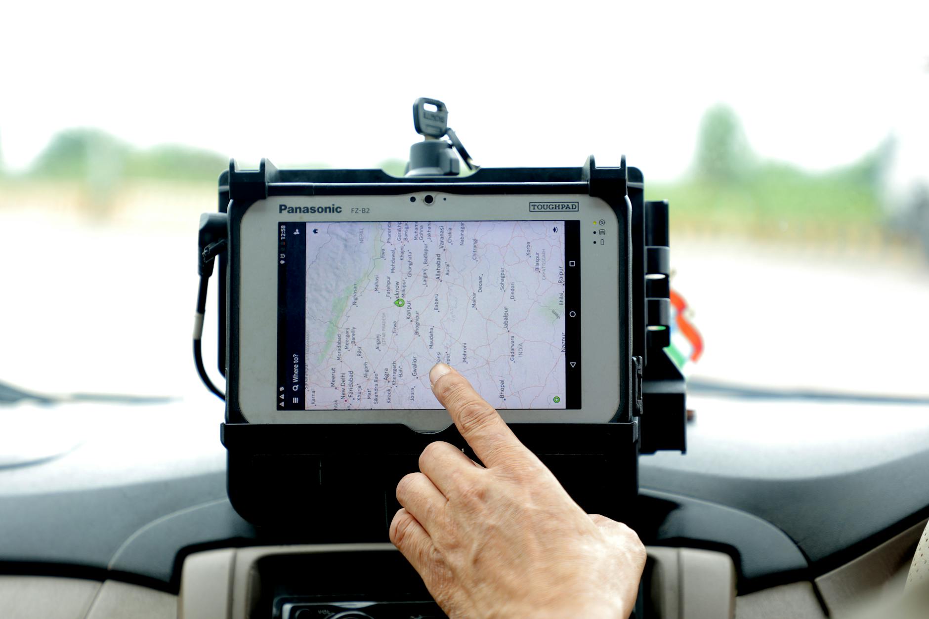
GPS has become so invisible that we tend to remember it exists only when it takes a wrong turn. Yet a massive portion of the modern economy relies on satellite positioning systems: smartphones, logistics, fleets, agriculture, aviation, infrastructure, and military operations.
According to TechCrunch, the US Army has decided to invest $11 million in Tern, an Austin-based startup developing alternative technologies to GPS. The significance of the news lies not just in the figure itself. It lies in the acknowledgment of a structural vulnerability: if we lose the satellite signal, a surprising number of modern systems suddenly lose their reference point.
GPS is not a law of nature
Satellites transmit signals that are extremely useful, but relatively weak by the time they reach the Earth's surface. They can be jammed, spoofed, or rendered unusable in specific areas. In civilian settings, this can cause disruption; in military contexts, it can become a strategic issue.
That is why governments and industry have been pursuing resilient forms of navigation for years: inertial systems, maps, terrestrial signals, computer vision, and sensor combinations capable of estimating position and movement even when satellite support is unavailable.
Machines can know where they are just by looking
One of the most compelling ideas involves treating the surrounding environment as a vast reference map. Cameras and sensors observe roads, buildings, terrain, and other features; software then compares what it sees with known data to derive an estimated position.
It is a principle closely related to the one used in robotics: instead of constantly asking an external infrastructure "where am I?", build the answer by combining what the system perceives.
Naturally, this is not simple. Rain, snow, darkness, vegetation, similar-looking buildings, and landscape changes can complicate visual recognition. But the strength does not necessarily lie in having a perfect replacement for GPS. It lies in having a second, independent source.
Resilience comes from redundancy
Reliable infrastructure rarely relies on a single mechanism. Aviation, computer networks, and industrial systems are designed with layers of backup precisely because a single point of failure can turn into a crisis.
Navigation could follow the same path. GPS when available, inertial systems for continuity, computer vision for correction, terrestrial signals where present. No single instrument necessarily needs to be perfect if the system as a whole manages to compensate for errors.
Military technology will likely find its way into the civilian world as well
Many resilient navigation technologies originate from defense requirements, but the civilian applications are obvious. Autonomous vehicles, drones, ships, agricultural machinery, and logistics networks share the same interest: knowing where they are even when the sky does not answer.
The US Army's contract with Tern therefore points to something bigger than a single startup. GPS transformed the world because it made positioning cheap and universal. The next phase could be making it less indispensable.
The real innovation will not be replacing a satellite with another technology. It will be building machines that no longer need to rely on a single answer to the most elementary question: where am I?


